



Aerial Orbital Documentation Service
$607.50Price every 6 months
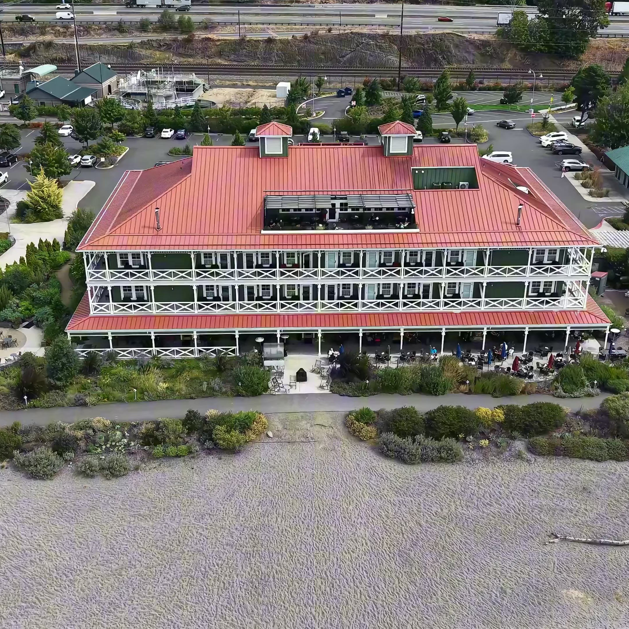
Aerial Orbital Documentation captures a stabilized circular flight path around a structure, property, or focal feature, providing a dynamic bird’s-eye perspective of the surrounding environment and overall site layout.
The orbital flight path helps reveal:
- Spatial relationships
- Property layout
- Access routes
- Environmental positioning
- Terrain context
- Structural orientation
- Project progression visibility
This style of aerial capture provides a broader visual understanding of a site in motion — allowing stakeholders to better understand how structures, terrain, and surrounding environments relate to one another in ways that still imagery alone may not fully convey.
This service is commonly utilized for:
- Construction progress documentation
- Property overview and verification
- Terrain and access visibility
- Remote stakeholder updates
- Site layout documentation
- Large-property environmental context
Aerial Orbital Documentation operates as a primary Property & Project Documentation service designed to provide elevated visual continuity and organized aerial perspective capture.
